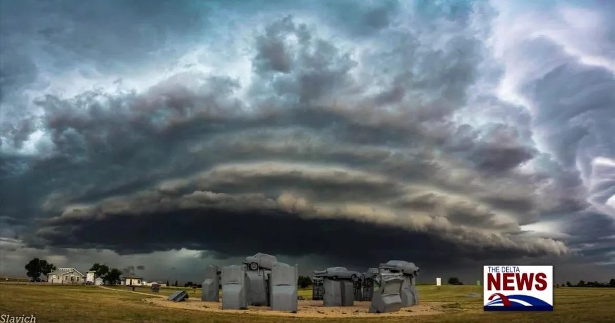
LAS VEGAS, NV — Storm clouds, gusty winds and scattered rain moved across southern Nevada on Wednesday, prompting a brief severe thunderstorm warning for parts of northeastern Clark County. The National Weather Service office in Las Vegas issued the warning between 8 and 9 a.m. for areas including Mesquite and Bunkerville before it expired shortly afterward.
Weather officials said the storm packing the warning produced wind gusts as high as 60 mph and quarter-sized hail. The cell also dropped 0.39 inches of rain in the area before moving away. More storms remained possible later in the day as the weather system continued pushing through the region.
Storm damage concerns centered on northeast Clark County
The strongest weather on Wednesday was focused well east of the Las Vegas Valley, where thunderstorms were more likely to turn severe. The warning covered the far northeastern edge of Clark County, where residents in Mesquite and Bunkerville saw the most direct impact from the fast-moving cell.
A Regional Transportation Commission traffic camera in Mesquite later captured a rainbow after the storm passed, a sign that the brief burst of heavy weather had already moved on. Even so, meteorologists warned that additional storms could still form during the day, especially in areas east and west of Las Vegas where rainfall totals could be higher.
Flood watch remains in place for nearby regions
Separate weather alerts stayed active beyond Clark County. A flood watch remained in effect through Thursday evening for northern Mohave County and southern Utah, where heavier rain could create runoff concerns. The broader storm pattern was expected to keep showers and thunderstorms in the forecast through Thursday afternoon.
The National Weather Service said the system was capable of producing stronger storms in the surrounding region, with the most severe weather expected farther east. For Las Vegas itself, forecasters said the city would see plenty of cloud cover Wednesday, but little to no rain was expected to accumulate during the day.
Northern Arizona under first tornado watch in sixteen years
One of the most significant alerts was issued in Mohave County, where a tornado watch was in effect until 5 p.m. Wednesday. According to 8 News Now meteorologist Tedd Florendo, it was the first tornado watch for northern Arizona in 16 years.
Florendo said conditions would remain favorable for more severe weather in that part of the region through Saturday. That outlook added to the concern across the broader storm zone, even as the heaviest rain and strongest thunderstorms were expected to stay away from the Las Vegas Valley for most of the day.
Windier and cooler conditions expected through the week
Along with rain chances, the storm system was expected to bring cooler air into the valley. Southwest winds were forecast to gust up to 35 mph on Wednesday, and temperatures were expected to fall from around 80 degrees Wednesday to the low 70s on Thursday.
Forecasters said those cooler highs should hold through next week, with overnight lows also sliding from the mid-60s Wednesday night to the mid-50s later in the week. The region’s seven-day forecast called for highs mostly in the 70s after Wednesday, with the warmest readings only returning to the mid-70s by early next week.
Rain chances rise Wednesday night before peaking Thursday
Rain chances were expected to increase Wednesday night and peak Thursday as the storm system passed through the area. Current projections called for about a quarter of an inch of rain in the Las Vegas Valley, although totals could change depending on the storm’s final track.
Areas to the east and west of Las Vegas could see more rainfall and additional thunderstorms. The forecast also called for gusty winds at times, with stronger gusts near any thunderstorms that developed. Wednesday’s outlook pointed to showers and storms through Thursday afternoon, with the most severe activity likely to stay east of Clark County.